Cyclone Alfred Update: Residents prepare for its first cyclone in half a century.
Residents have begun arriving at evacuation centres in the Gold Coast area.
Authorities advised Gold Coast residents to take shelter starting at 6 PM this evening.
The Bureau of Meteorology released its most recent cyclone bulletin at approximately 8pm on Wednesday, accompanied by a new tracking map that indicates Cyclone Alfred may make landfall directly over Brisbane at 7pm on Friday.
Tropical Cyclone Alfred is poised to become the first cyclone to strike the south-east Queensland and northern New South Wales area since 1974.
Previously, Alfred was expected to make landfall in the early hours of Friday morning, likely around 2am, just one hour following a 1am high tide in Brisbane.
On Wednesday evening, the Bureau of Meteorology predicted that Tropical Cyclone Alfred would likely make landfall early Friday morning, most probably between Maroochydore and Coolangatta, as a category two system.
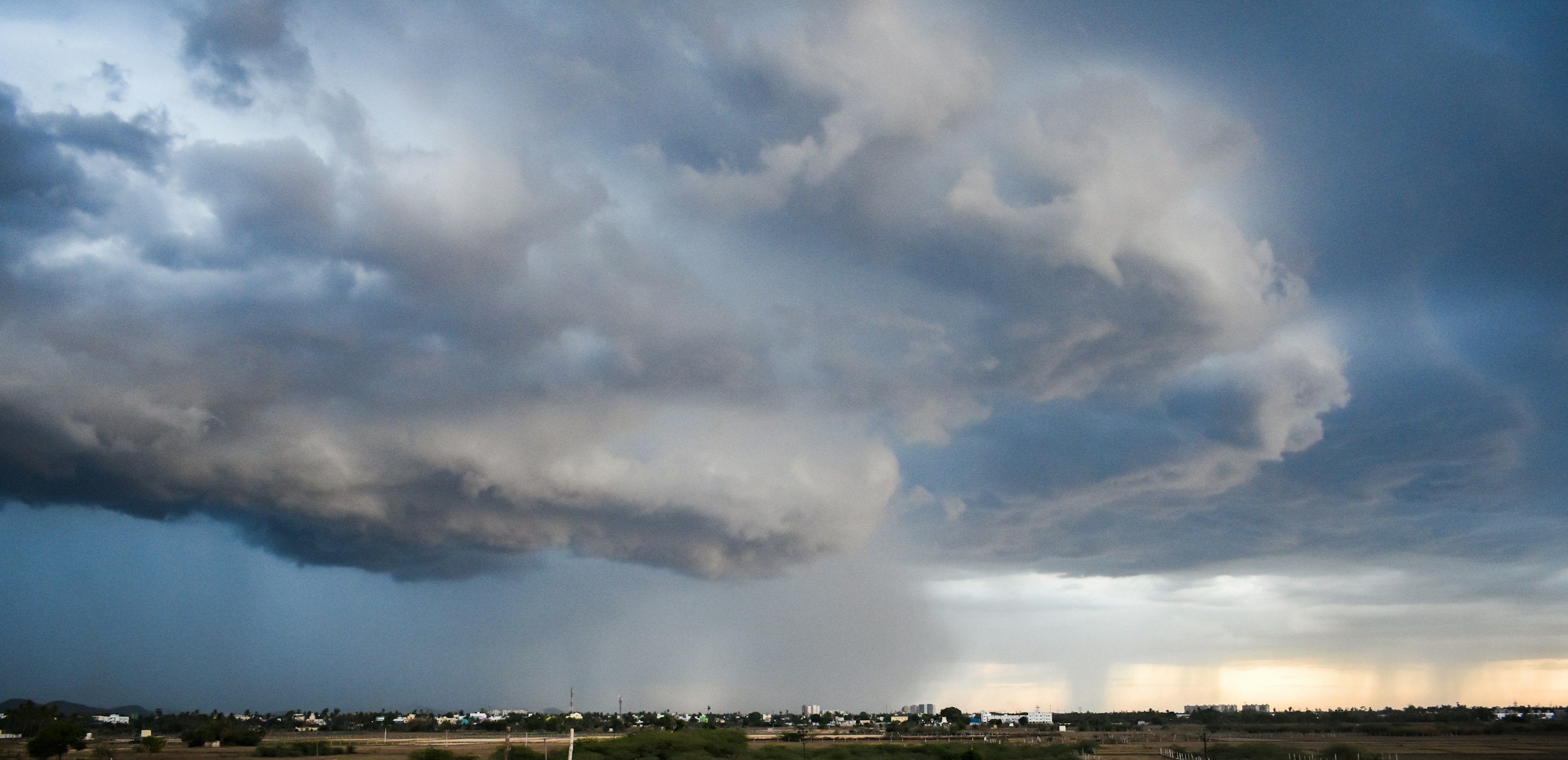
Members of the SES are examining Tropical Cyclone Alfred using the satellite imagery provided by the Bureau of Meteorology (BOM). For guidance on how to prepare for Cyclone Alfred and what actions to take if evacuation is no longer an option, please refer to additional resources. It has been announced that Queensland's educational institutions, along with the airports in Gold Coast, Ballina, and Coffs Harbour, as well as council-operated waste disposal sites and Brisbane's public transport systems, will close on Wednesday. However, Brisbane and Sunshine Coast airports remained operational on that day.
Updates are currently awaiting, and we hope our friends stay safe during this time.
Sources:
To find out more, please read here: